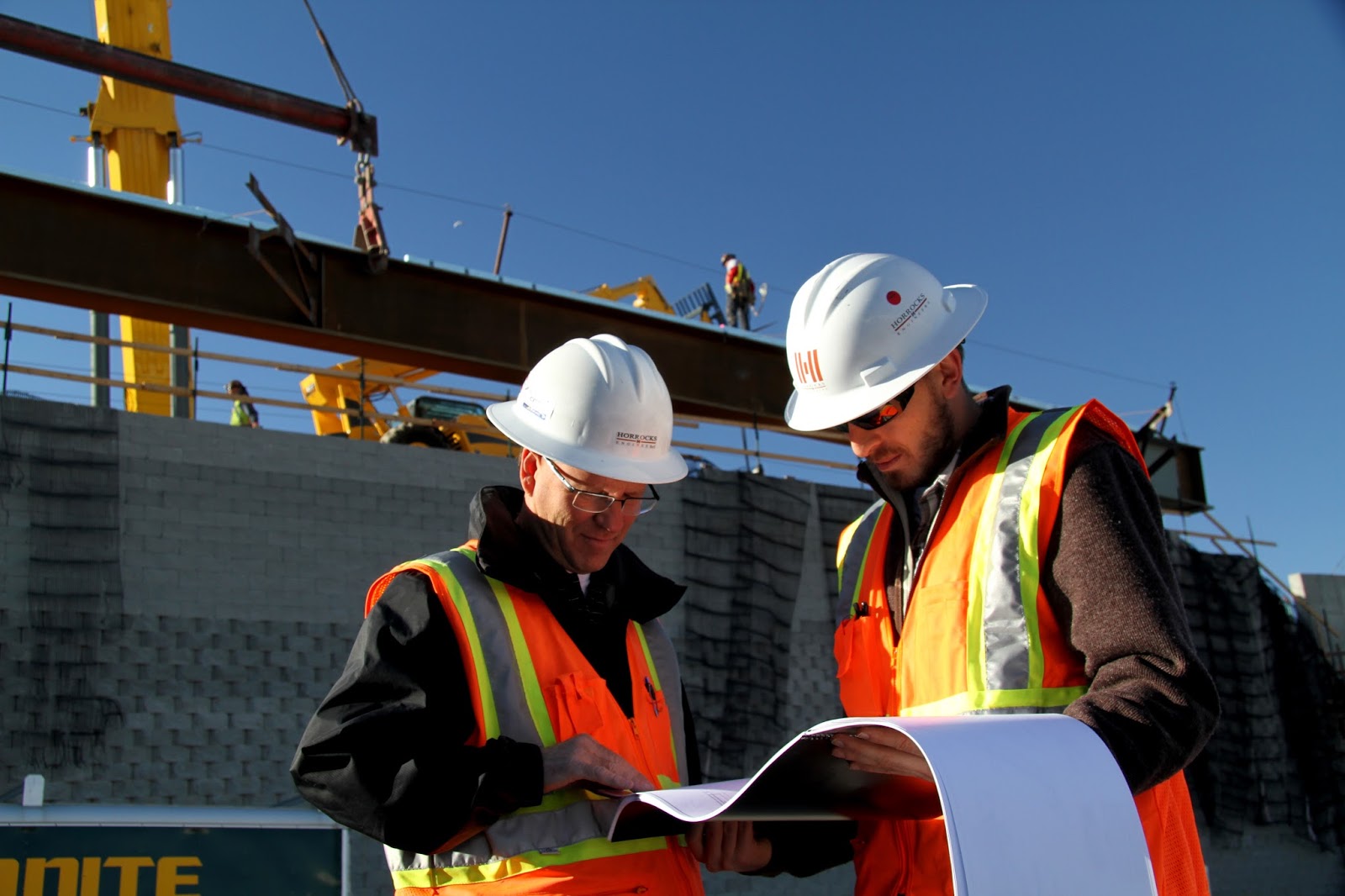
A **Civil Surveyor Course in Rawalpindi | Total Station* is an excellent opportunity for individuals who want to build a practical and in-demand skill in the construction and real estate sectors. This course is designed to provide hands-on training in modern surveying techniques, including the use of total stations, GPS equipment, and leveling instruments. Students gain a clear understanding of land measurement, boundary marking, and site layout, which are essential for roads, housing projects, and commercial developments.
0334-0950505
The training focuses on both theoretical knowledge and field practice to ensure learners can confidently handle real-world projects. Participants learn map reading, site calculations, contouring, and basic drawing for survey reports. Experienced instructors guide students through actual fieldwork, helping them understand professional standards and safety practices commonly followed in the industry. This practical approach makes the course suitable for beginners as well as professionals seeking skill enhancement.
Completing a land survey course in Rawalpindi opens doors to multiple career paths, including work with construction companies, engineering firms, and government departments. Graduates can also offer freelance surveying services or support large infrastructure projects across Pakistan. With continuous development in urban and rural construction, trained land surveyors remain in high demand, making this course a smart choice for long-term career growth. Land Survey Course in Rawalpindi 6th Road Civil Surveyor Course in Rawalpindi | Total Station
Civil Surveyor Course Content:
- Introduction Civil Surveyor
- Classification of survey
- .Principles of survey
- Chain survey
- Plotting of chain survey
- Compass survey
- Bearing system
- Drawing Scales
- Types of scales
- Leveling
- Technical terms
- Purpose of Leveling
- Plain table survey
- Methods of plane table survey
- Adjustment of Levels
Civil Surveyor Course in Rawalpindi | Total Station
- What is a Civil Surveyor Course in Rawalpindi?
It is a practical course that teaches land surveying, construction surveying, measurements, leveling, and the use of modern surveying instruments. - What is Total Station?
Total Station is an electronic surveying instrument used to measure angles, distances, coordinates, and elevations. - Is Total Station included in the Civil Surveyor Course?
Yes, practical Total Station training can be an important part of the course. - Who can join a Civil Surveyor Course?
Students, beginners, civil engineering learners, draftsmen, construction workers, and job seekers can join. - Is previous surveying experience required?
No. Beginners can start with basic surveying concepts. - What will I learn about Total Station?
You can learn instrument setup, station setup, backsight, coordinate entry, measurements, data collection, and basic setting-out work. - What is land surveying?
Land surveying is the process of measuring and determining the location, distance, direction, and elevation of points on land. - What is construction surveying?
Construction surveying helps transfer building, road, foundation, and other project measurements from drawings to the actual site. - What is leveling in surveying?
Leveling is used to determine differences in elevation between points. - What is a benchmark?
A benchmark is a known reference point with an established elevation. - What is a survey station?
A survey station is a selected point from which measurements are taken or used as a reference. - What is a backsight?
A backsight is a measurement taken to a known reference point to establish the orientation of a survey instrument. - What is foresight?
A foresight is generally a measurement taken toward a point whose elevation or position needs to be determined. - What is a traverse survey?
A traverse survey determines the positions of points through a series of connected survey lines. - What is an open traverse?
An open traverse starts and ends at different points and is commonly used for routes such as roads and pipelines. - What is a closed traverse?
A closed traverse forms a closed shape or returns to a known point, allowing checks on survey measurements. - What is an Auto Level?
An Auto Level is a surveying instrument mainly used for determining differences in elevation. - What is a measuring tape used for in surveying?
It is used for measuring shorter distances and checking dimensions. - What is a prism in Total Station surveying?
A prism reflects the instrument’s signal and helps the Total Station measure distance to a survey point. - Can Total Station work without a prism?
Many modern Total Stations have reflectorless measurement capabilities, depending on the instrument model. - What is a prism pole?
A prism pole holds the survey prism at a controlled height above a point. - What is instrument centering?
Centering means positioning the surveying instrument directly above the survey point. - What is leveling of a Total Station?
It means adjusting the instrument so that its vertical axis is properly aligned and the instrument is level. - What is coordinate surveying?
Coordinate surveying determines the position of points using coordinate values such as northing, easting, and elevation. - What are Northing and Easting?
They are coordinate values used to describe the horizontal position of a point in a coordinate system. - What is elevation?
Elevation is the vertical position of a point relative to a selected reference level. - What is reduced level (RL)?
RL is the elevation of a point relative to an established datum or reference level. - What is datum in surveying?
A datum is a reference surface or system used for measuring elevations or coordinates. - What is setting out?
Setting out transfers positions, dimensions, and levels from construction drawings to the actual site. - Can a surveyor set out building foundations?
Yes, surveyors commonly assist in transferring foundation locations and reference points to the site. - What is building layout surveying?
It involves marking building corners, grid lines, foundation positions, and other design points on the ground. - What is road surveying?
Road surveying involves measuring and establishing alignments, levels, profiles, and other information needed for road construction. - What is an alignment?
Alignment defines the planned horizontal or vertical path of a road, pipeline, or other project. - What is a centerline?
A centerline is a reference line used to define the central alignment of a construction or infrastructure project. - What is a cross-section survey?
It records ground levels across a line perpendicular to a project alignment, commonly used in roadwork. - What is a longitudinal profile?
It shows changes in ground elevation along a selected alignment. - What is contour surveying?
It involves collecting elevation data to represent the shape and relief of the land. - What are contour lines?
Contour lines connect points having the same elevation on a map or survey plan. - What is a topographic survey?
A topographic survey records natural and man-made features along with ground elevations. - What is a site survey?
A site survey collects measurements and information about an area before or during construction. - Can beginners learn Total Station?
Yes. With proper practical training, beginners can learn the basic operation and surveying workflow. - Is practical training important for a surveyor?
Yes. Field practice helps learners understand instrument setup, measurements, calculations, and site procedures. - Will the course include field practice?
A practical Civil Surveyor program may include field exercises using surveying instruments and construction examples. - What surveying instruments are commonly taught?
Depending on the course, learners may work with Total Station, Auto Level, measuring tape, prism, prism pole, and other basic equipment. - What is GPS/GNSS surveying?
GPS/GNSS surveying uses satellite positioning systems to determine the coordinates of survey points. - Is GPS included with Total Station training?
It depends on the institute and course syllabus. Some programs include basic GPS/GNSS surveying. - Can surveyors use AutoCAD?
Yes. AutoCAD is commonly used for preparing, editing, and presenting survey drawings. - Is AutoCAD necessary for a civil surveyor?
Basic AutoCAD knowledge can be useful for working with survey plans and construction drawings. - What is a survey drawing?
A survey drawing presents collected field information, coordinates, levels, boundaries, and other relevant site details. - What is a field book?
A field book is used to record survey observations, measurements, sketches, and site information. - What is a survey report?
A survey report documents the survey work, measurements, findings, and relevant project information. - What is an offset in surveying?
An offset is a measured distance from a survey line to locate a feature or point. - What is chain surveying?
Chain surveying is a basic surveying method in which linear measurements are the primary observations. - What is plane table surveying?
It is a graphical surveying method in which field observations and drawing are carried out together. - What is an angle in surveying?
An angle represents the direction relationship between two survey lines and can be measured with instruments such as a Total Station. - What is horizontal distance?
Horizontal distance is the distance between two points measured or reduced along a horizontal plane. - What is slope distance?
Slope distance is the direct distance between two points along a sloping line. - What is an EDM?
EDM stands for Electronic Distance Measurement. It uses electronic technology to measure distances. - Does a Total Station use EDM?
Yes. A Total Station combines electronic distance measurement with angle measurement and data processing. - What is data collection in surveying?
It is the process of recording coordinates, measurements, codes, and other field observations for later processing. - What is a survey data collector?
It is an electronic device or integrated controller used to enter, store, and manage field survey data. - What is resection in Total Station surveying?
Resection is a method used to determine the instrument position by observing known survey points. - What is stakeout in Total Station?
Stakeout, or setting out, guides the surveyor to the location of designed points on the ground. - Can Total Station be used for road projects?
Yes. It can be used for various road surveying and setting-out tasks.