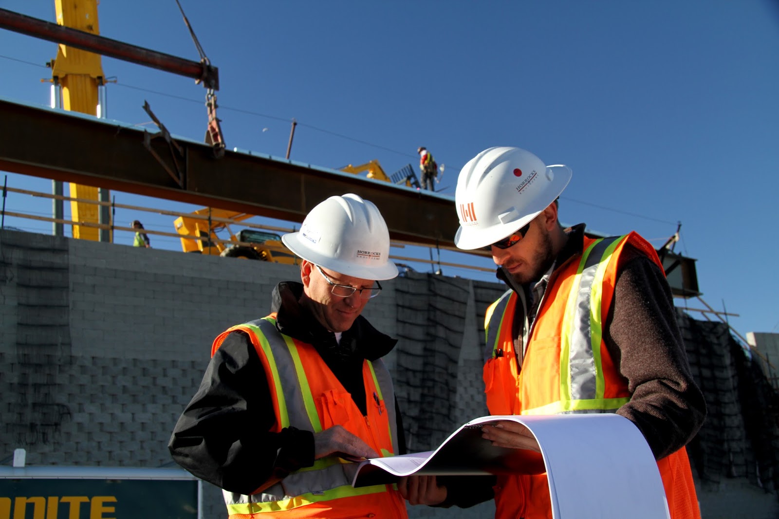
The Certified Civil Surveyor Course in Rawalpindi is designed for individuals seeking a professional career in land surveying, construction, and infrastructure development. This comprehensive program provides in-depth training in modern surveying techniques, including total station usage, GPS surveying, leveling, and mapping. Taught by industry experts, the course combines theoretical knowledge with hands-on practical experience, ensuring students develop the technical skills required for real-world applications. Whether you are a beginner or a professional looking to enhance your expertise, this course offers a structured pathway to a rewarding career in the construction and engineering sectors. Certified Civil Surveyor Course in Rawalpindi – Hands-on Training
Upon successful completion, students receive a recognized certification, enhancing their employability in both local and international markets. The Civil Surveyor Course equips graduates with the expertise to work on large-scale projects, such as road construction, building layouts, and land development. With a growing demand for skilled surveyors in Pakistan and abroad, this course provides a strong foundation for career advancement. Enroll today to gain industry-relevant skills and open new job opportunities in the rapidly expanding construction and infrastructure sectors Certified Civil Surveyor Course in Rawalpindi – Hands-on Training
Civil Surveyor Course Outline
- Overview of surveying and its importance in construction
- Role and responsibilities of a civil surveyor
- Types of surveying (land, construction, geodetic, hydrographic)
- Industry standards and legal aspects
- Introduction to surveying tools: Total Station, GPS, Theodolite, Auto Level
- Handling and maintenance of equipment
- Calibration and accuracy checks
- Safety measures in surveying operations
- Linear and angular measurement methods
- Levelling techniques (differential and profile levelling)
- Benchmarking and elevation determination
- Traversing methods and error minimization
- Conducting topographic surveys
- Contour mapping and terrain analysis
- Plotting and interpreting survey data
- Land subdivision and boundary demarcation
- Setting out buildings, roads, and infrastructure projects
- Stakeout procedures for foundations and structural elements
- Road alignment and grading techniques
- As-built surveys and project documentation
- Introduction to AutoCAD and Civil 3D for surveying
- GIS (Geographic Information Systems) applications in surveying
- Data processing and map generation using software
- Integration of GPS data with mapping software
- Aerial and drone surveying
- Remote sensing applications in surveying
- Underground utility mapping
- High-precision surveying for mega projects
- Hands-on training with surveying equipment
- Real-world surveying projects and case studies
- Team collaboration and problem-solving exercises
- Preparation for industry certification exams
- Survey report preparation and presentation
- Legal documentation and land record management
- Understanding survey maps and blueprints
- Professional ethics and best practices
Certified Civil Surveyor Course in Rawalpindi : +92 334 0950505
What is civil surveyor ?
A civil surveyor is a trained professional responsible for measuring and mapping land, structures, and construction sites. They play a crucial role in the planning and execution of infrastructure projects by providing accurate data on land features, boundaries, elevations, and dimensions. Using advanced surveying equipment such as total stations, GPS systems, and laser levels, civil surveyors help engineers, architects, and construction teams make informed decisions to ensure precision and efficiency in development projects.
Civil surveyors are essential in various industries, including construction, real estate, and urban planning. Their expertise is required in road construction, bridge development, building layouts, and land division for residential and commercial projects. By conducting detailed land surveys, they help prevent disputes over property boundaries and ensure compliance with legal and regulatory standards. Their work is crucial in maintaining safety, efficiency, and sustainability in construction and infrastructure development. Certified Civil Surveyor Course in Rawalpindi – Hands-on Training
The responsibilities of a civil surveyor go beyond just taking measurements. They analyze and interpret survey data, create topographic maps, and provide reports that guide engineers and project managers. Their calculations help determine factors such as soil stability, water drainage, and elevation differences, which influence the design and structural integrity of projects. Advanced computer software, such as AutoCAD and GIS (Geographic Information Systems) is often used to process and visualize survey data, making the role highly technical and precise.
To become a professional civil surveyor, individuals typically undergo formal training through diploma or certification programs. These courses cover essential topics such as land surveying techniques, construction site management, mapping, and the use of modern surveying tools. Many civil surveyors also gain practical experience through internships or on-the-job training, which helps them apply theoretical knowledge to real-world scenarios. With continuous advancements in technology, surveyors must stay updated with new tools and techniques to remain competitive in the industry.
In conclusion, civil surveyors are key players in the construction and infrastructure sectors, ensuring the accuracy and feasibility of projects from the ground up. Their work contributes to the successful development of roads, buildings, and land projects while maintaining safety and regulatory compliance. With a growing demand for skilled surveyors worldwide, this profession offers promising career opportunities for individuals with strong analytical skills and a keen eye for detail.